Gudbrandsdalen N field trip
From 14 to 15 October 2021 a group of researchers from Nordic Link visited the Gudbrandsdalen North area to conduct field investigations.

A representative from Statens Vegvesen (National Public Road Administration), and researchers from the related Klima2050, ClimDesign and KlimaVei projects joined the excursion to share their experiences and offer alternatives points of view of the challenges the Gudbrandsdalen N area is facing.
The Gudbrandsdalen N area (around the town of Otta) is the main NordicLink Norwegian case study site. The area is hit by different natural hazards including floods, rockfalls, debris flows, and snow avalanches. The hazard events frequently affect the European road E6 and the railway that link Oslo and Trondheim, the national road Rv15 from East Norway to West Norway, as well as the possible detouring alternatives. Therefore, understanding and predicting the future hazard situations in the area is of foremost importance for the transportation of goods and population within Norway.
The field trip to the Gudbrandsdalen N area was an excellent opportunity for the NordicLink research partners and Statens Vegvesen to share knowledge and experiences and improve the understanding of the challenges faced daily by road and railway infrastructures in the area.

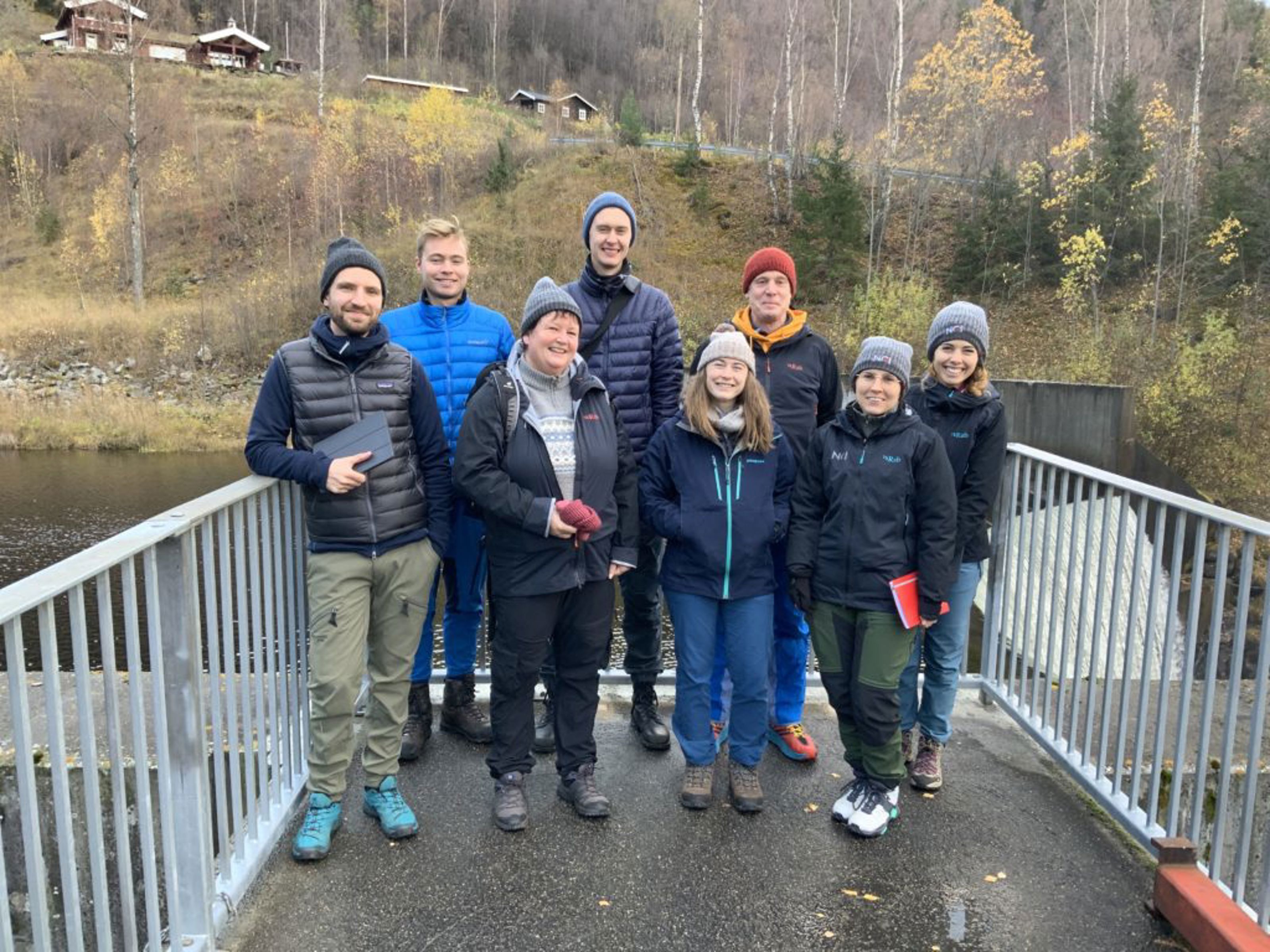
Field trip participants at the check-dam in the river Ula, north of Otta.

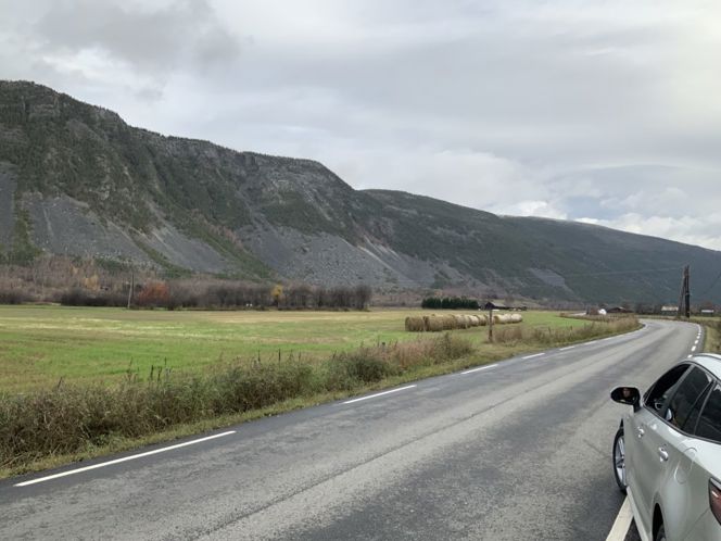
View over flood plain and rock fall talus in Selsmyrene, north of Otta.