WP 3

Hazard monitoring solutions
WP3 Lead: Chalmers
Main contact person: Prof Jelke Diekstra
Main objective:
Develop and implement monitoring measures for natural hazard risk reduction along linear infrastructure networks
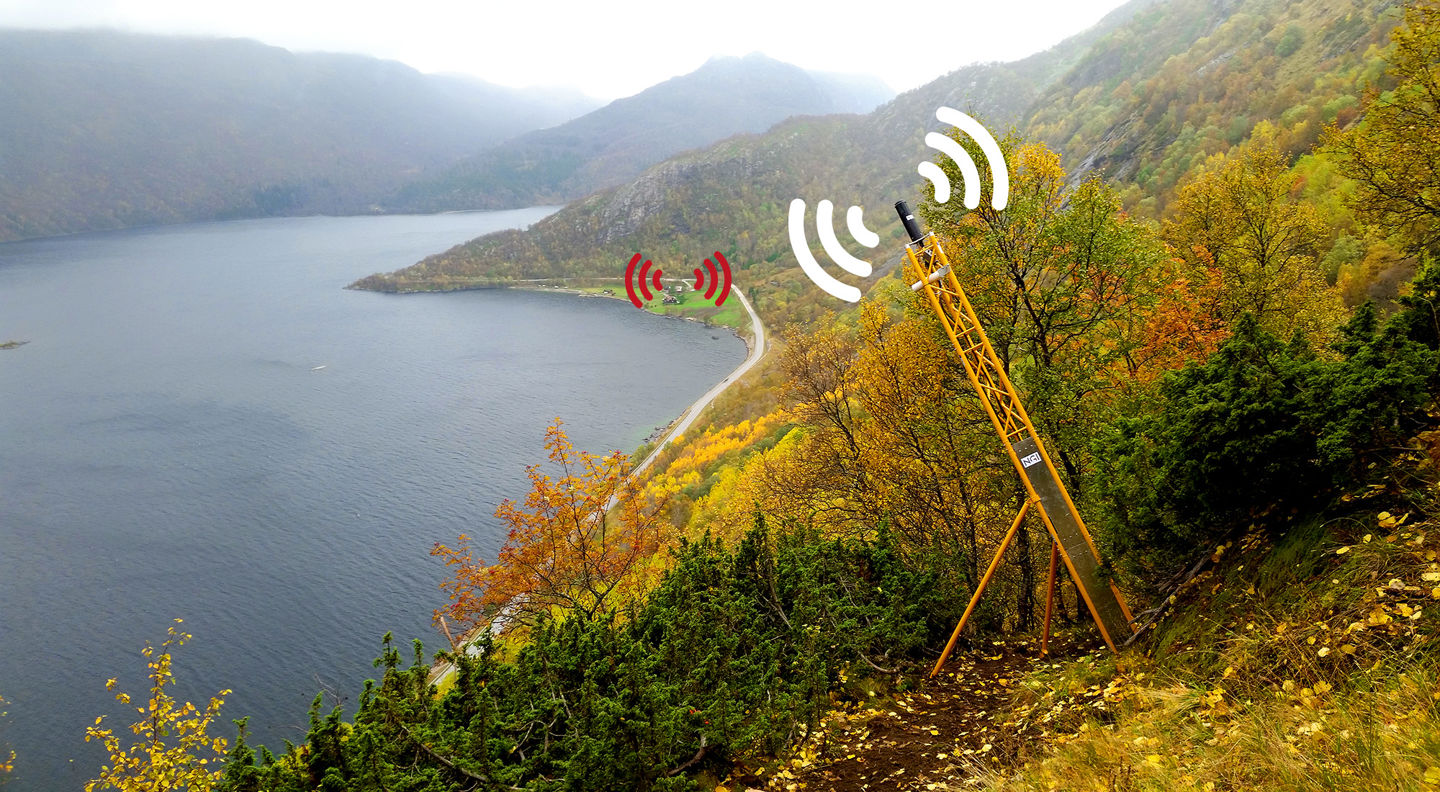
NordicLink will harness and develop recent technological advancements in the fields of data assimilation for machine learning, big data, sensor fusion, remote sensing techniques, and sensor fusion to develop monitoring measures for linear infrastructure networks. Developments will address the needs for higher spatial and temporal data coverage, rapid analyses locally and across large areas, the data assimilation of heterogenous information, and the integration of cloud-based data management platforms and machine-learning models to produce reliable hazard and risk profiles. A key outcome will be the development of a GIS-based system to assess linear infrastructure vulnerability.
Research questions include:
Where are infrastructure networks most vulnerable to climate change induced natural hazards?
Research activities will incorporate the results of RQ1 and RQ2, involving infrastructure stakeholders and government agencies to identify and characterize case-study regions for use in RQ4 and RQ5. NordicLink will base the analysis on large multi-model ensembles of global climate models and different types of downscaling to provide realistic ranges for climatic variables.
What existing data sources and technologies can be utilized to develop monitoring along linear infrastructure and how can new tools and information be centralized and utilized by infrastructure stakeholders for operational decision making in the Nordic region?
Research activities will focus on predicting threats to linear infrastructure security and implementing digital tools (machine learning) to manage heterogeneous data for sensor fusion to identify risks.